 |
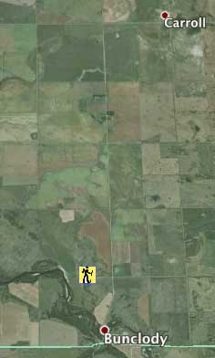
Bunclody Area
Just north of the former village of Bunclody a road allowance takes you to an overlook of the Souris River.
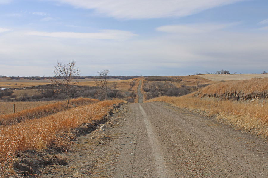
Grid road north of the village. The railway crossed in the valley.
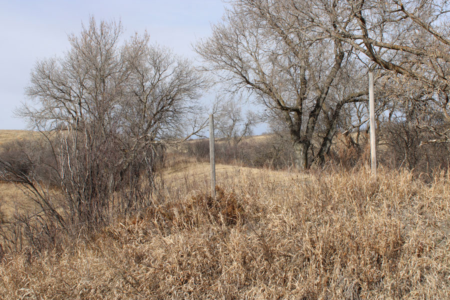
Rail embankment heading north
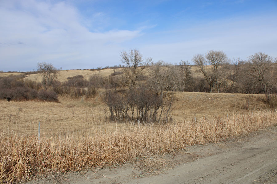
Rail embankment approaching the crossing from the north
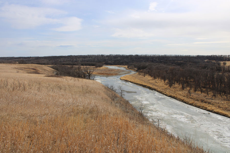
The Souris River, approaching Bunclody
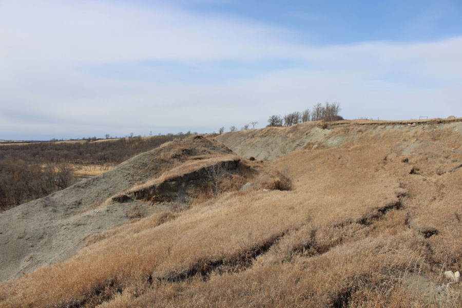
After the flood of 2011 huge sections of the high cliffs slumped towards the river, offering us a view of how river valleys evolve.
49* 32’ 49.52” N
100* 03’ 15.93” W
Visit the Bunclody Area
MapPlus...