
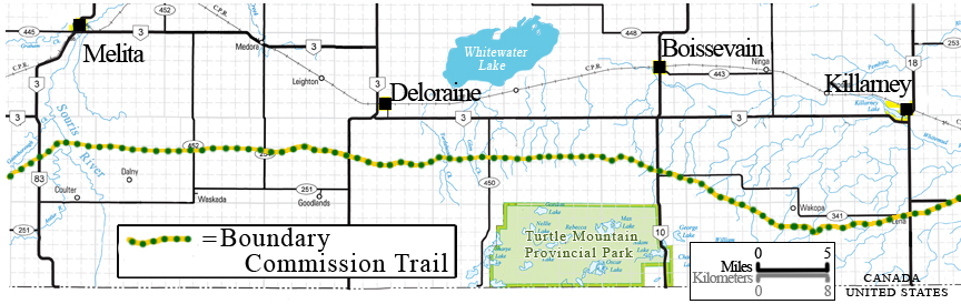
The Boundary Commission Trail
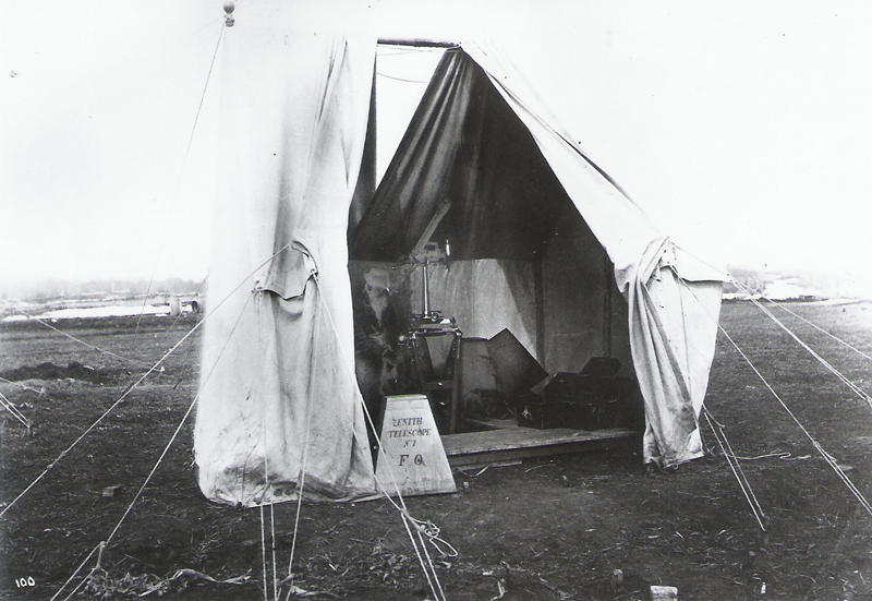
Photos from the Manitoba Archives
Sources and Additional Info...
http://www.mhs.mb.ca/docs/mb_history/19/boundarycommissiontrail.shtml
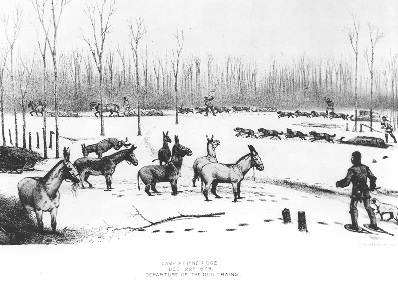
Over two summers, the Boundary commissioners, guided by Métis scouts, were followed by labourers breaking the trail and by surveyors traveling behind. While the British commissioners traveled very lightly armed, the Americans on the other side of the border were accompanied by heavy military escort. The Dakota, who hunted on both sides of the line often hostile towards Americans for establishing posts on sacred land and for ignoring and breaking treaties.
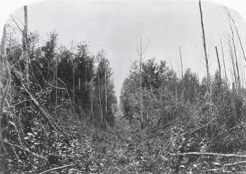
Modern use of the trail began in 1873. The British and United States Boundary Commissioners followed a route along the
49th Parallel in their trek across the plains to mark the boundary between the U.S. and Canada.
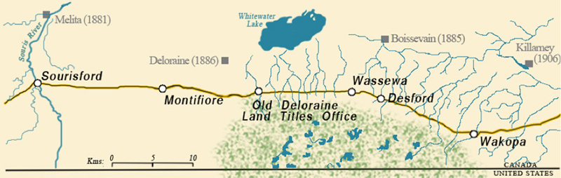
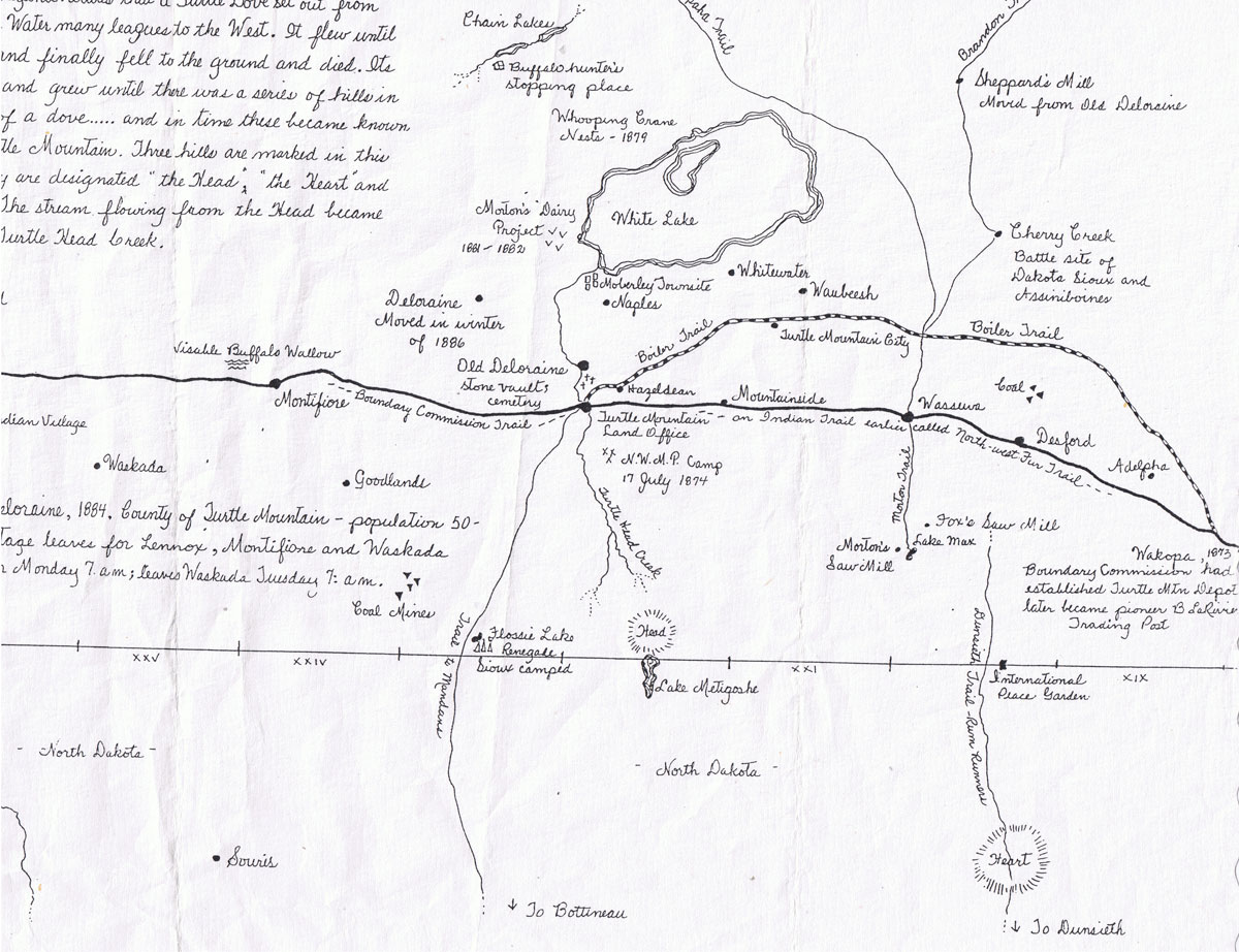
Map by Doug Morrison / Deloraine Mb.
Long River
Turtle Mountain
Souris River - Sourisford
Souris River - Sourisford
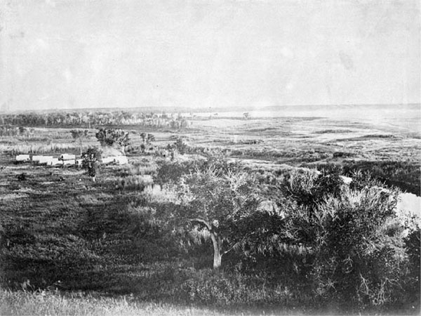
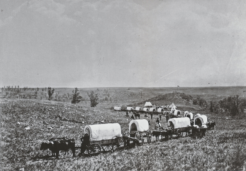
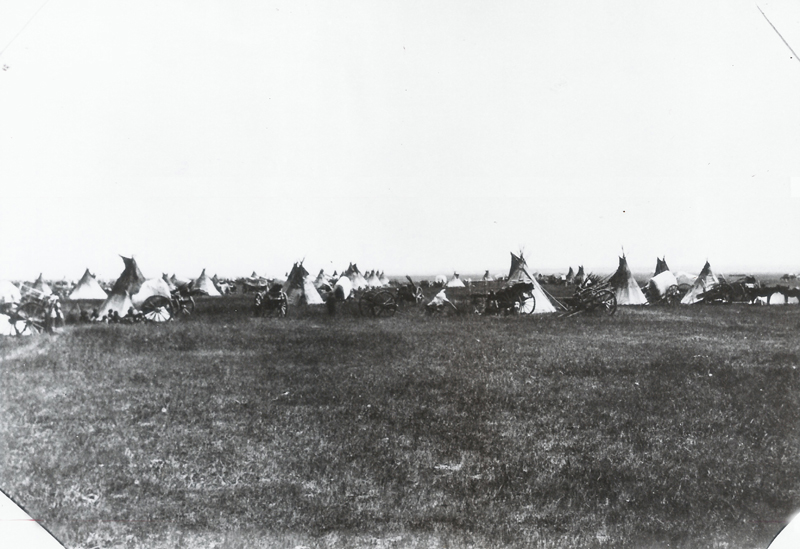
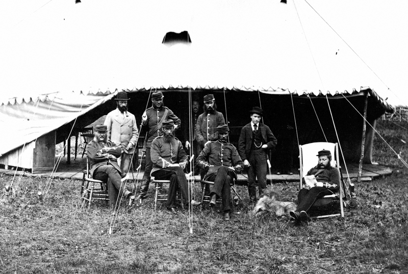
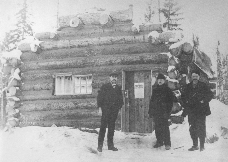
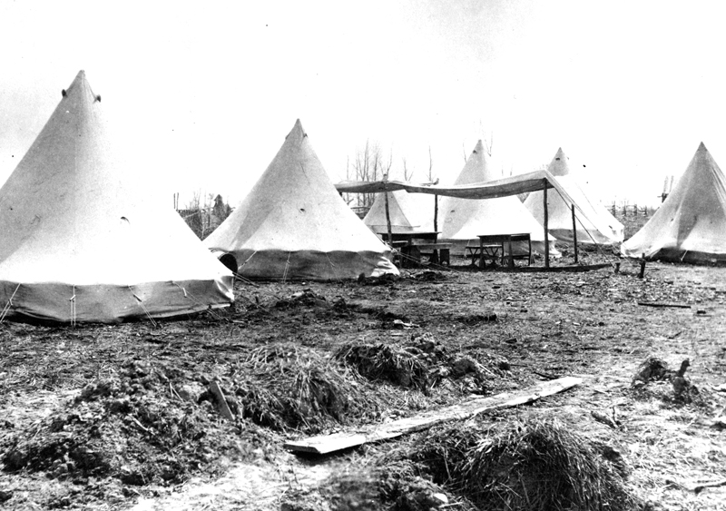
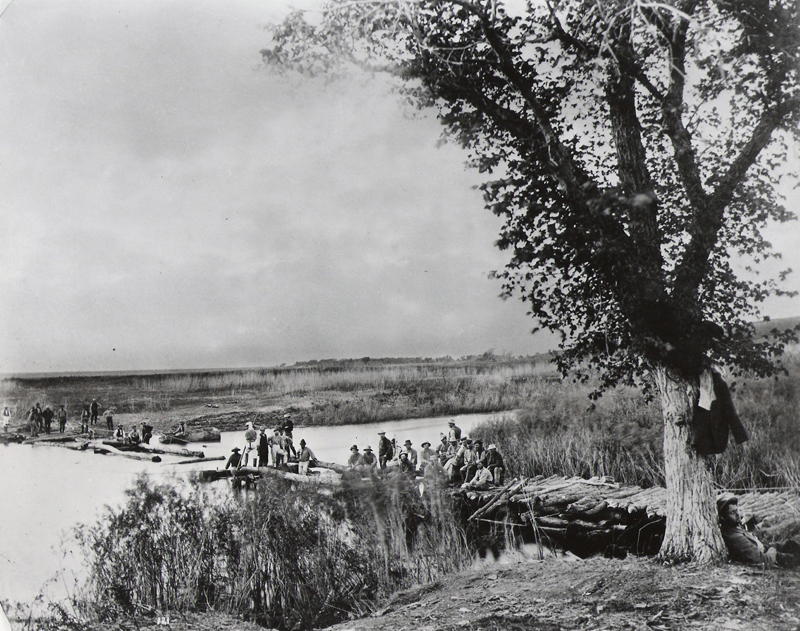
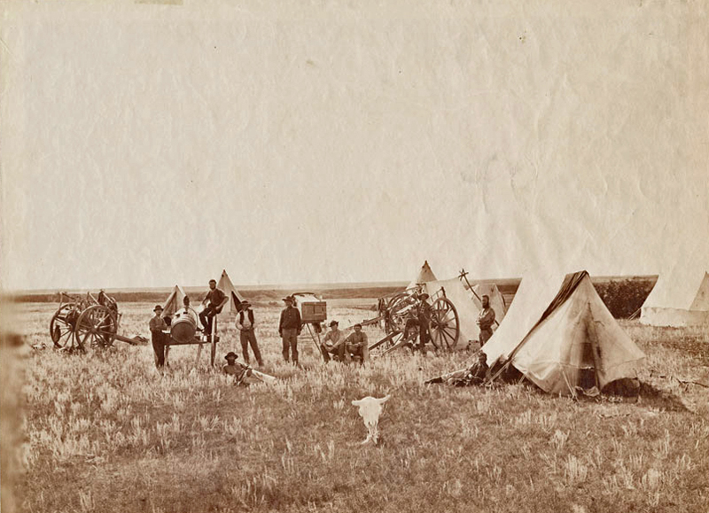
North America Boundary Commission camp at] South Antler Creek., Man. 1873
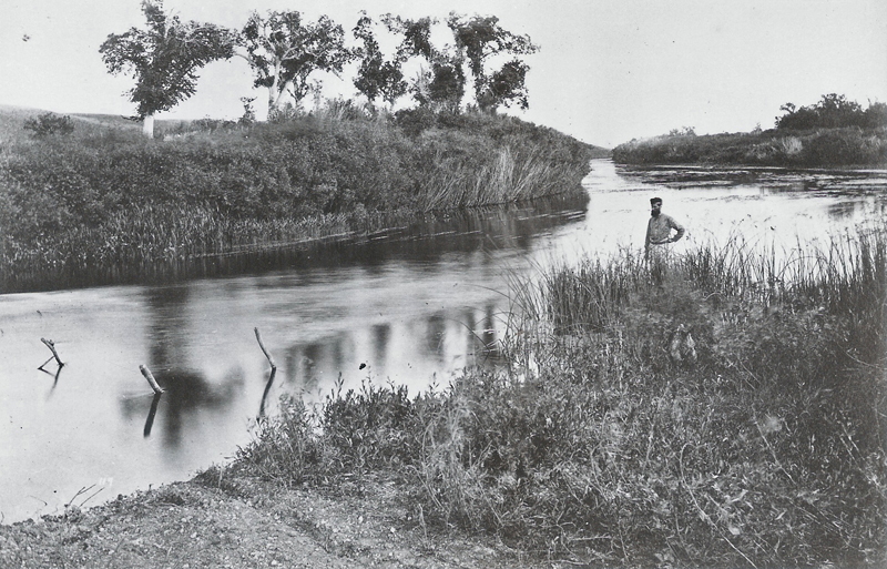
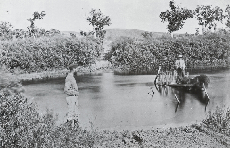
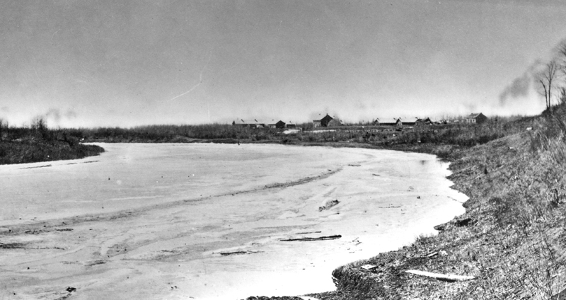
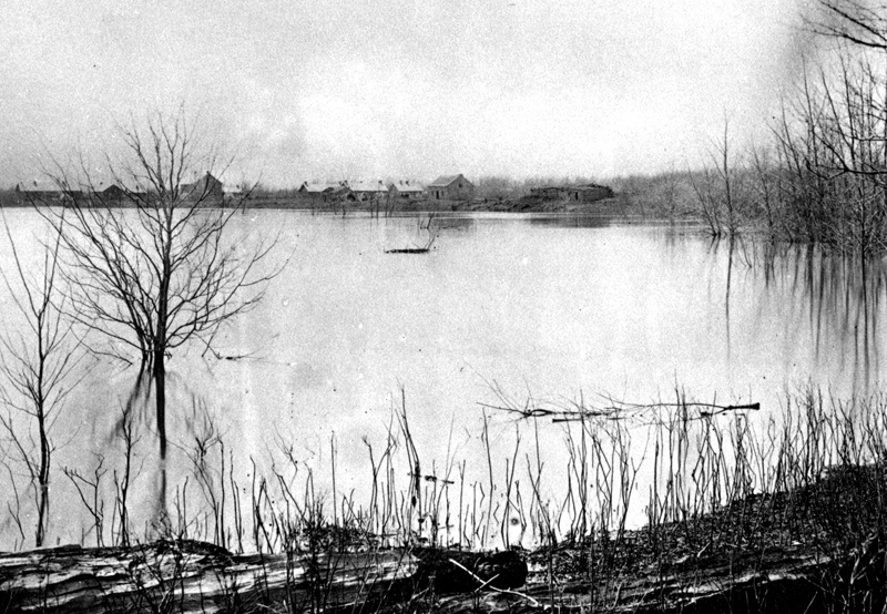
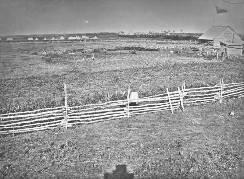
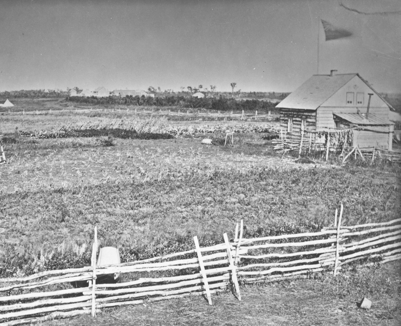
1st Crossing - Souris River 170 miles west of Red River & 10 miles north of Boundary. 1873
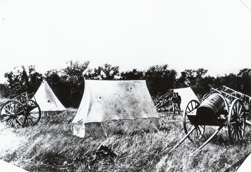
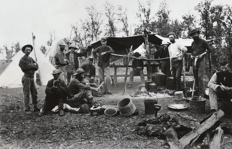
Sgt. Kay's Camp - North Antler River
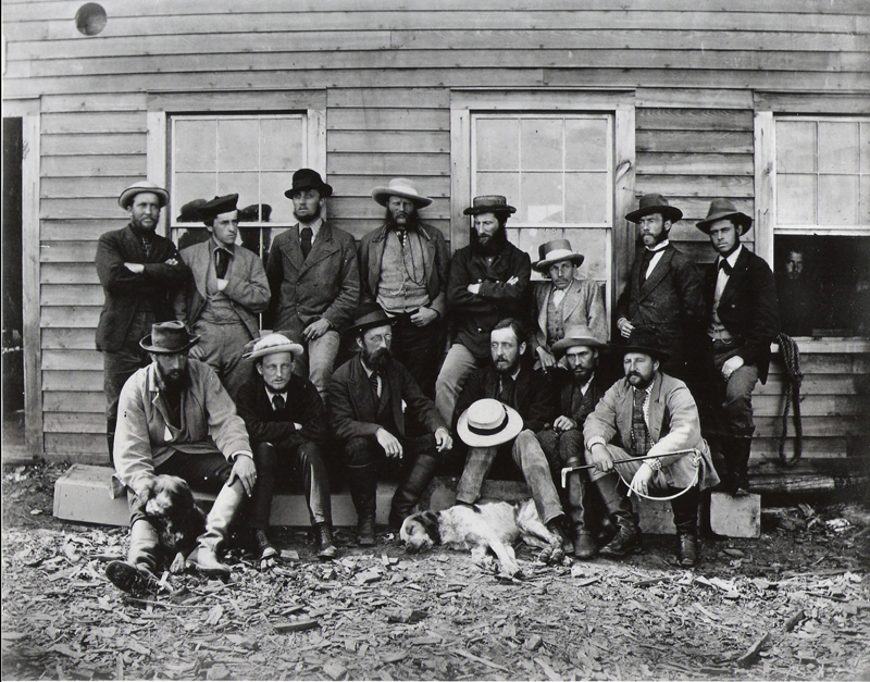
Photographers
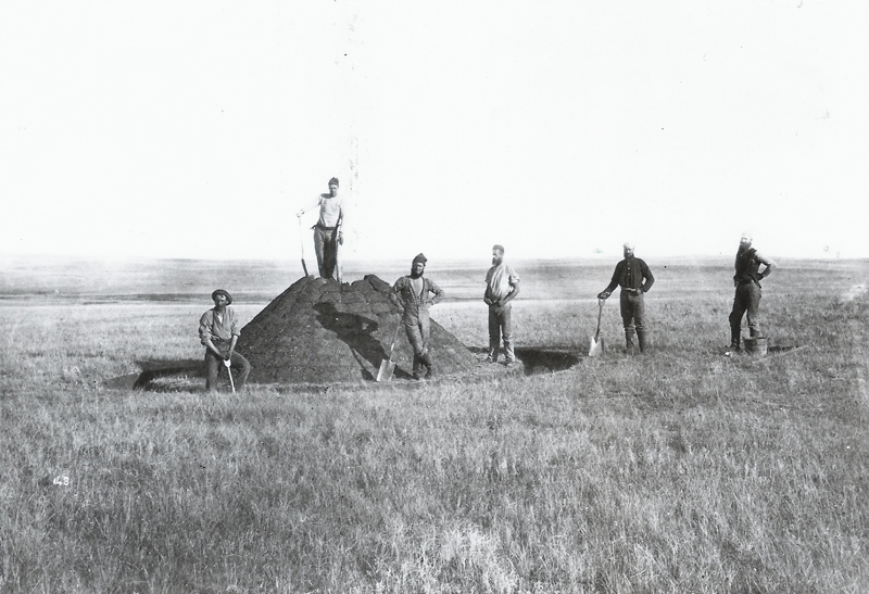
Sa ppers at a Boundary Mound
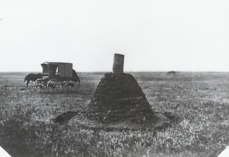
Boundary Mound - Grand Coteau Station
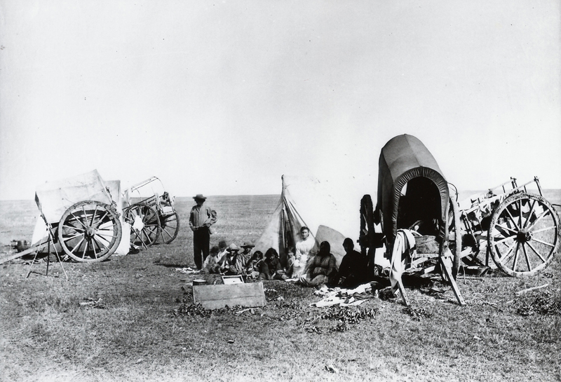
Metis Traders
Wood Mountain
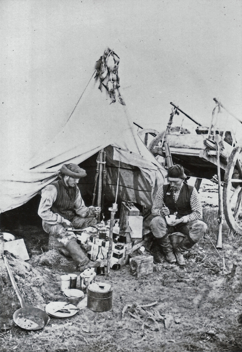
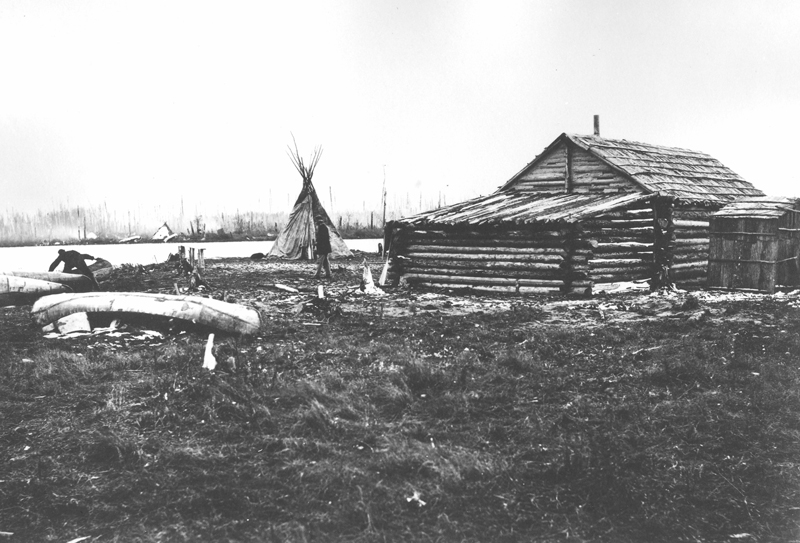
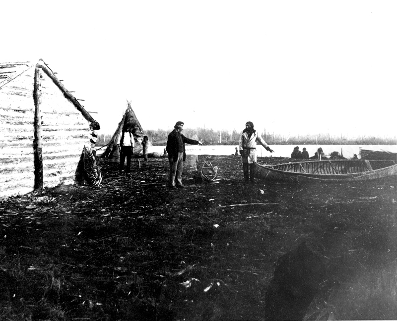
Metis Hunter's Camp
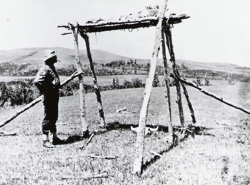
Dakota Grave
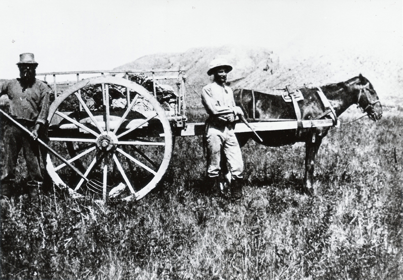
Collecting Buffalo chips
Souris River
Commission Officers
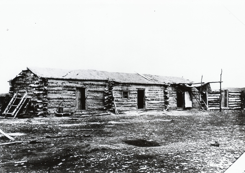
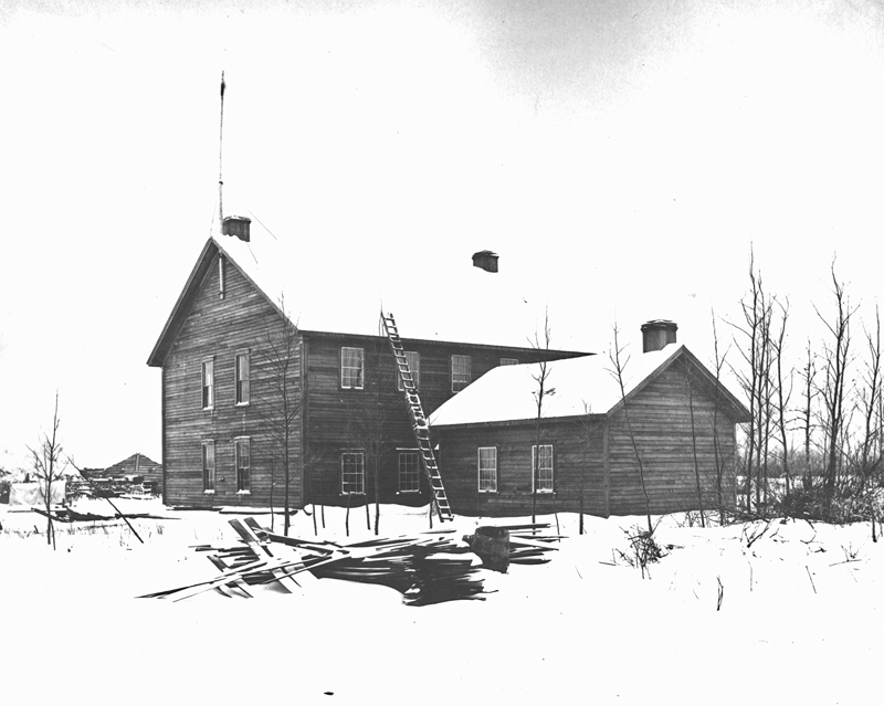
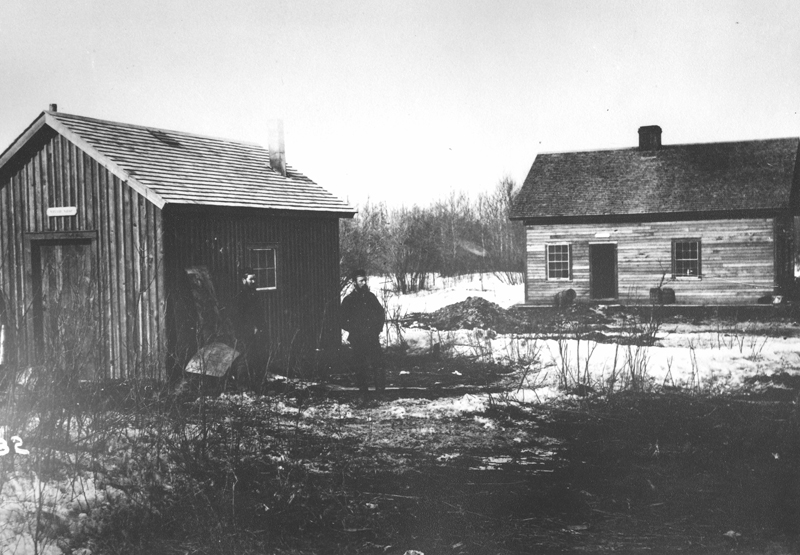
Turtle Mountain Depot
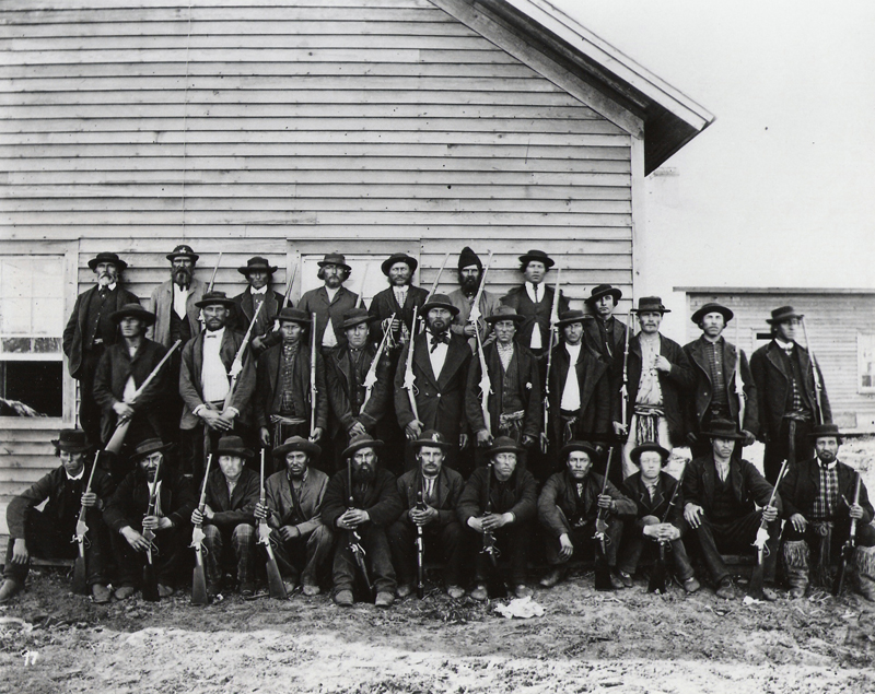
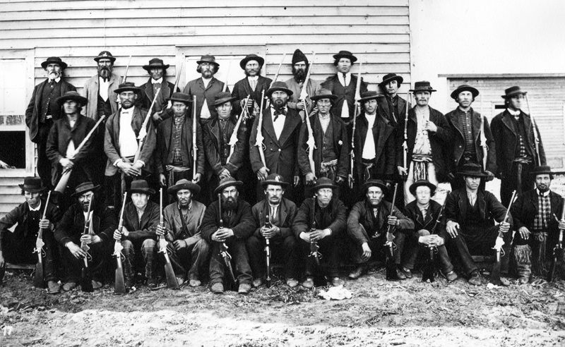
Metis Scouts
1873 - Canasda Archives Photo
TOP