 |
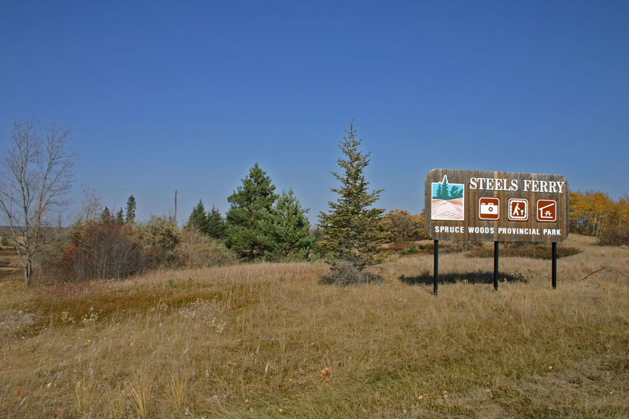
Steel's Ferry Trail
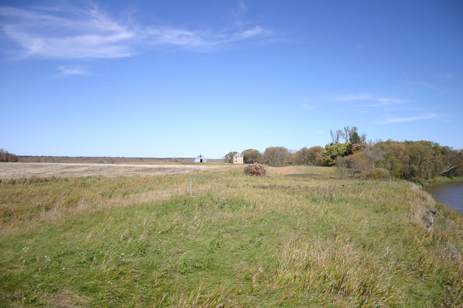
One of the many trails in Spruce Woods Provincial Park
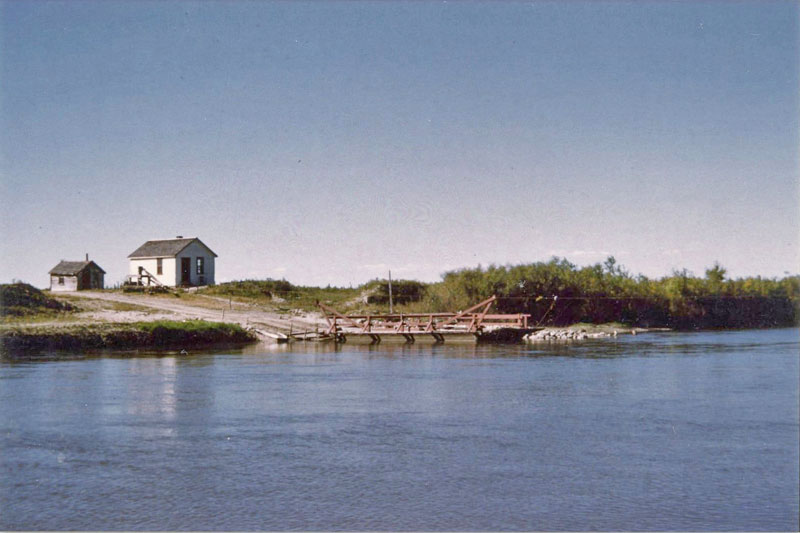
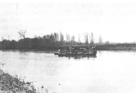
Steel's Ferry - likely from the early 60's.
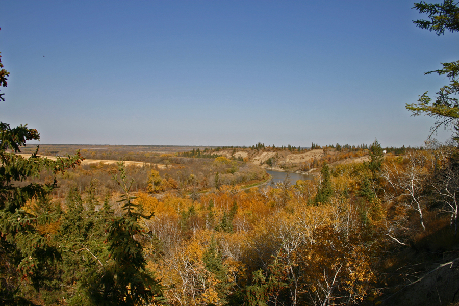
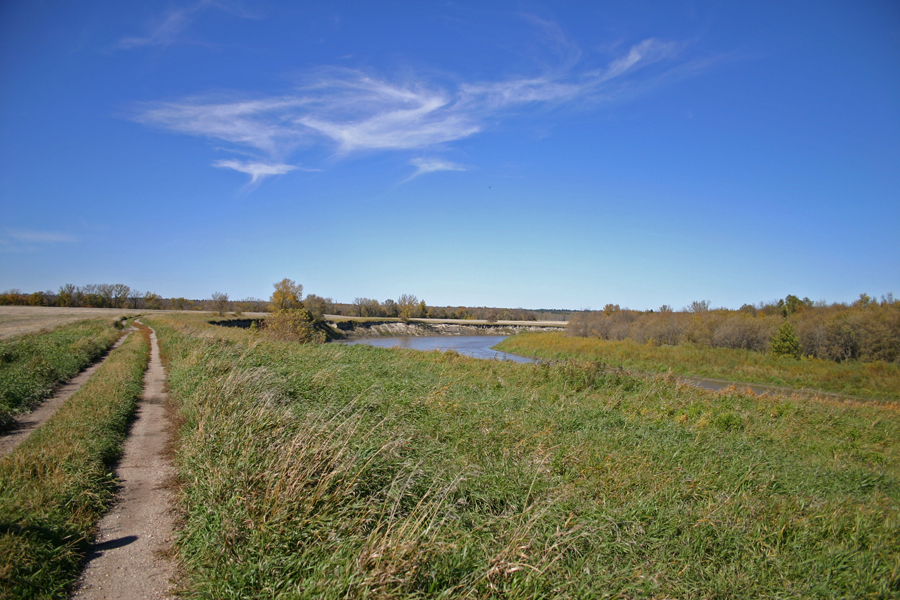
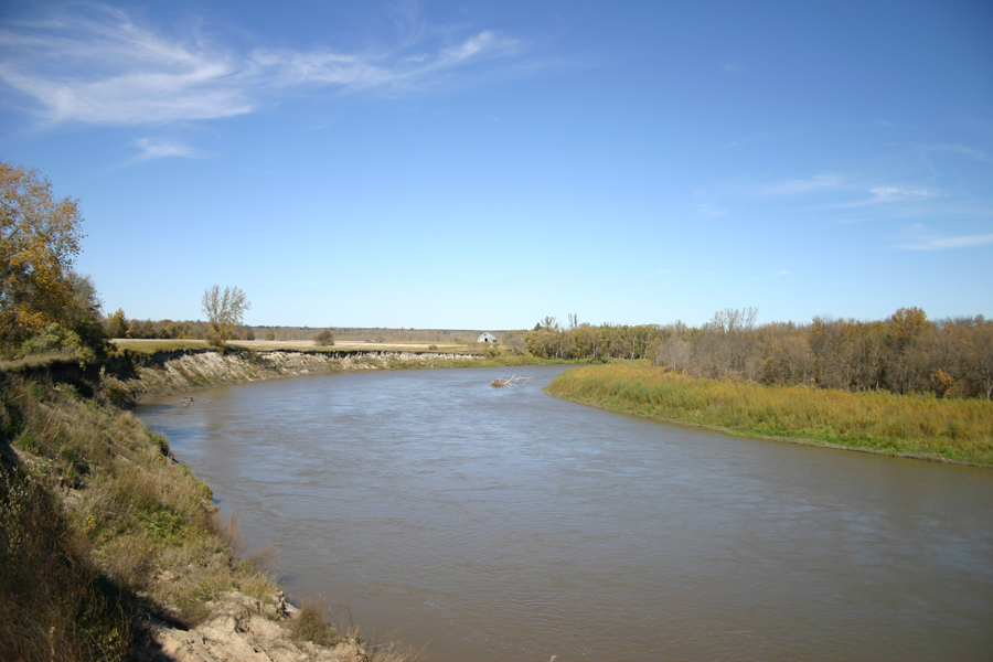
View from the overlook, just east of the road allowance that takes you down the valley.
Video...
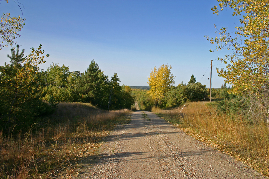
Steels’ Ferry Road – the Fair Valley School was to the right.
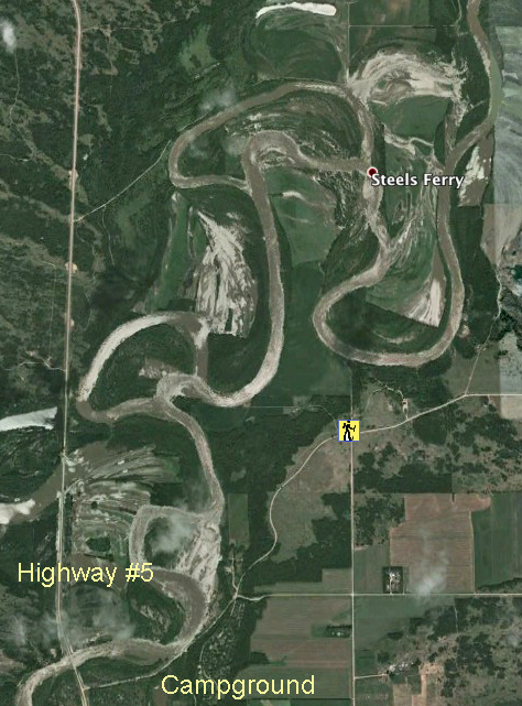
49* 40' 38.04" N
99* 14' 04.88" W
Steel’s Ferry 1892 – 1965
Before 1965, if you were heading from Glenboro to Carberry by car, you would start by heading straight north for three miles. Then the road angled to the east for a few miles, twisting a bit until it straightened and headed due north again.
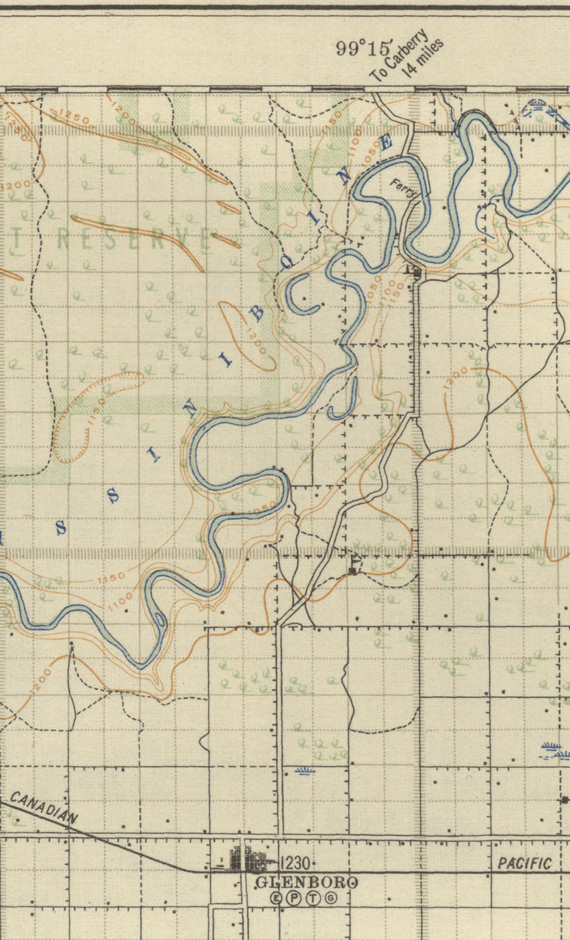
1920’s Map
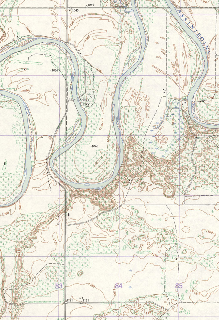
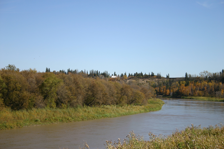
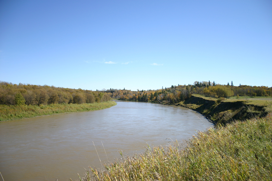
Two miles later the road took a steep dip into the Assiniboine Valley, and after another mile or so, there you are at the Assiniboine River.
Waiting for you there was Steel’s Ferry, which served as the main link for travellers heading north for over seventy years.
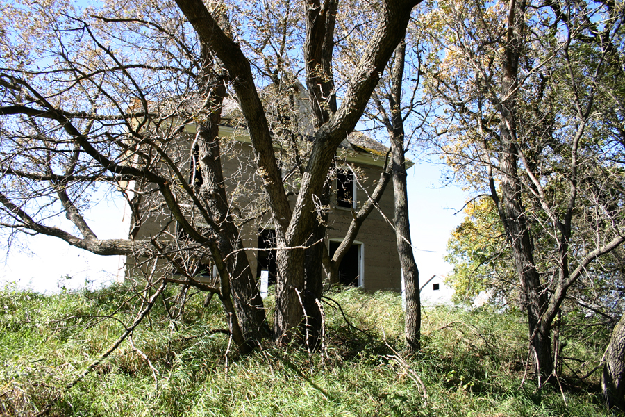
When it was established, in 1892, it was called Johnson’s Ferry. That was before Alex Steel, who had farmed in the region for some years, built a house nearby moved in.
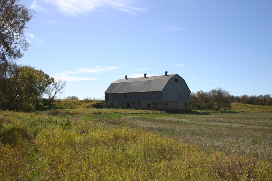
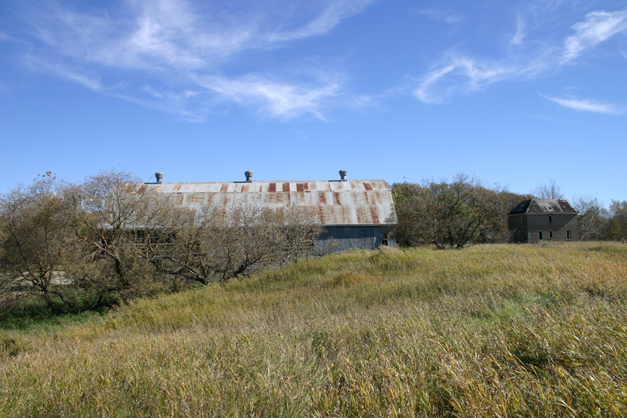
Bill Snart worked on the family farm nearby and also was in charge of the ferry for nineteen years beginning in 1923. It was a busy crossing on a well-travelled route.
A Chevrolet Coupe on the ferry in 1928
In 1965 the "Ernest Thompson Seton Bridge" spanning the Assiniboine River a was officially opened. Carberry. With the opening of the bridge, Steel's Ferry was taken off and demolished.

MapsPlus...