|
Off The Beaten Path - Hikes and Explorations in the Brandon Region
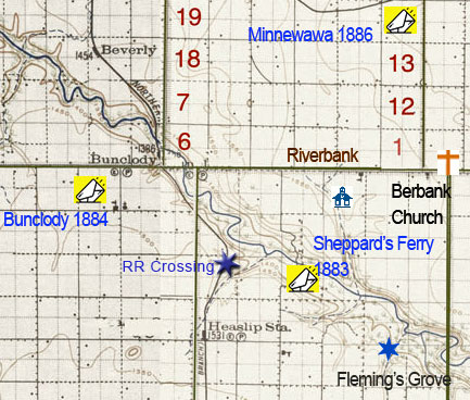
Heaslip Area - Great Northern RR Ravine Crossing
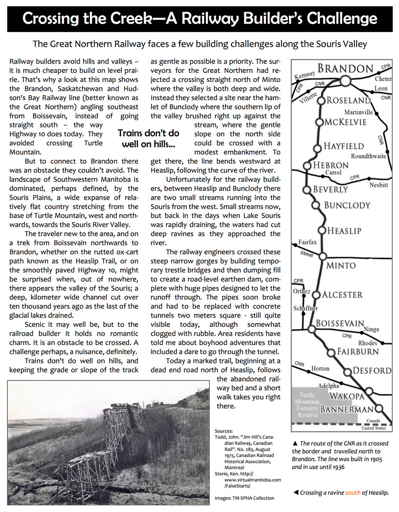
Building the crossing.
A fill over a deep ravine - built in 1905 - 06 - between Heaslip and Bunclody.
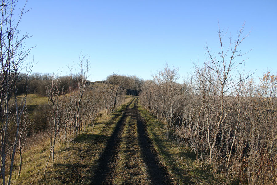
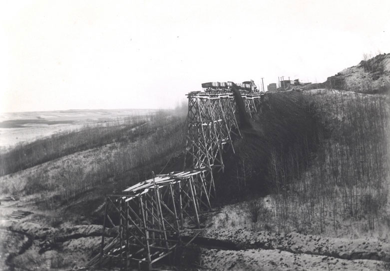
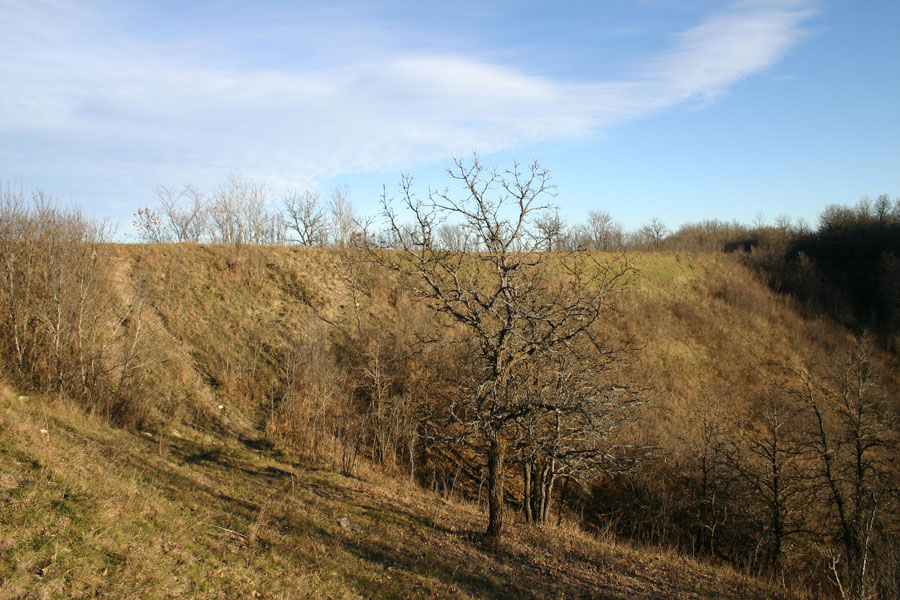
The old rail bed on the fill
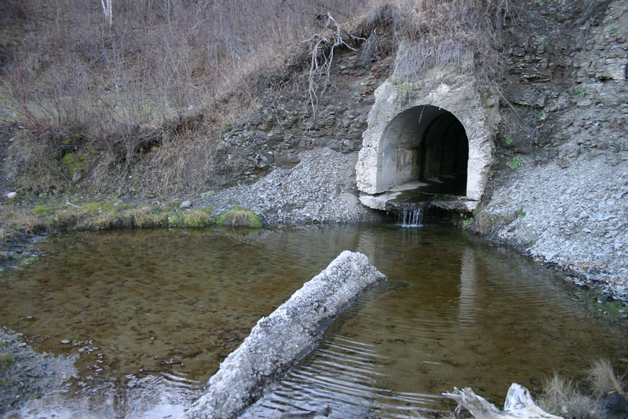
Culvert for drainage.
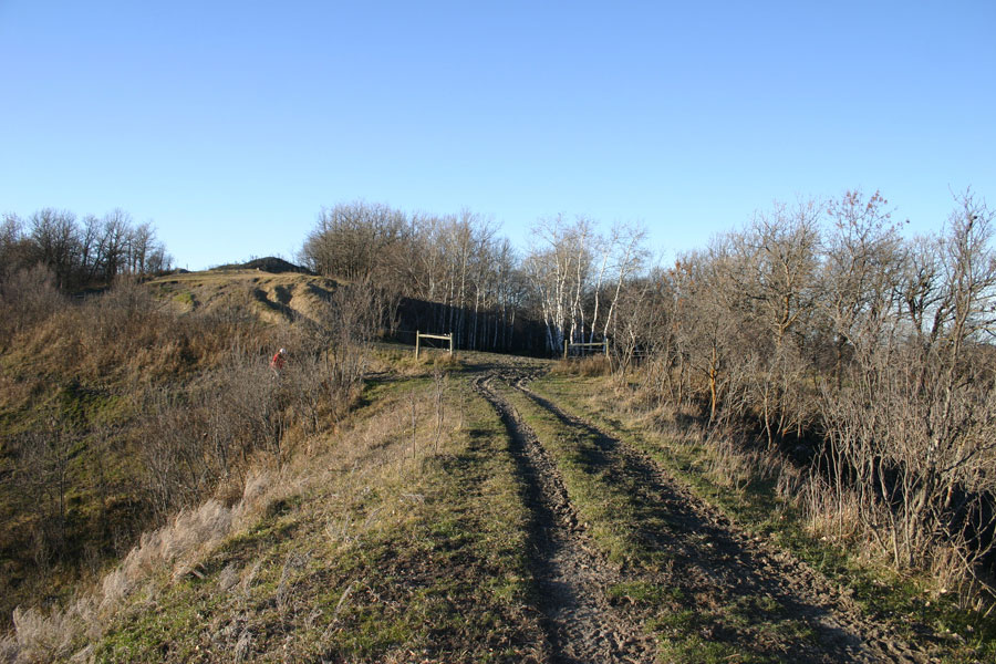
Another shot of the top of the fill
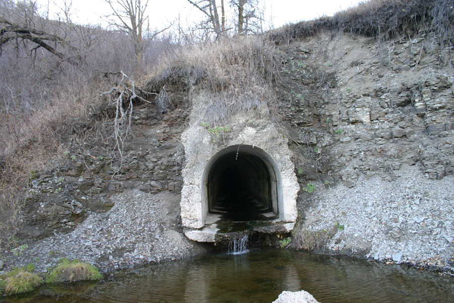
The culvert appears to be clear, but one can't see through - it seem to have a bend or curve.
The east side drains towards the Souris River
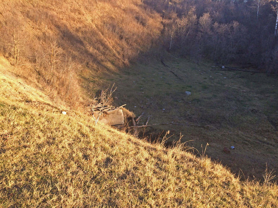
The west (sunny) side of the fill
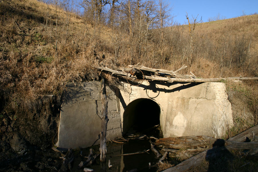
The west side of the culvert. The culvert angles left then must turn right.
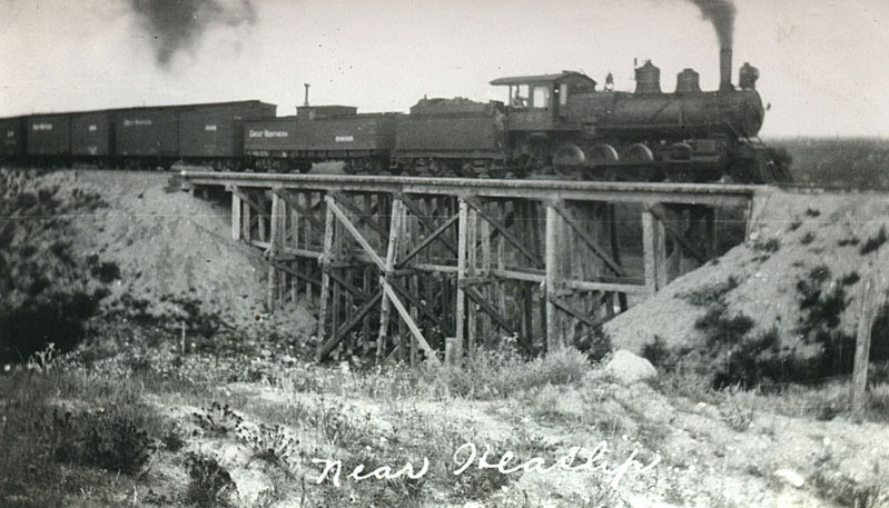
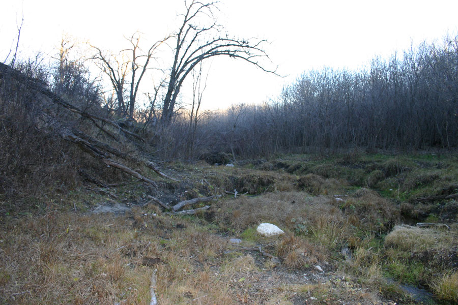
This bridge was south of the ravine fill.
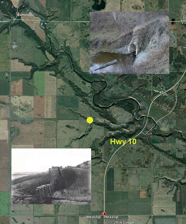
MapsPlus...
Heritage Site Maps...