|
The
Souris River / Route #4 / Bunclody to McKellar's
Bridge |
 |
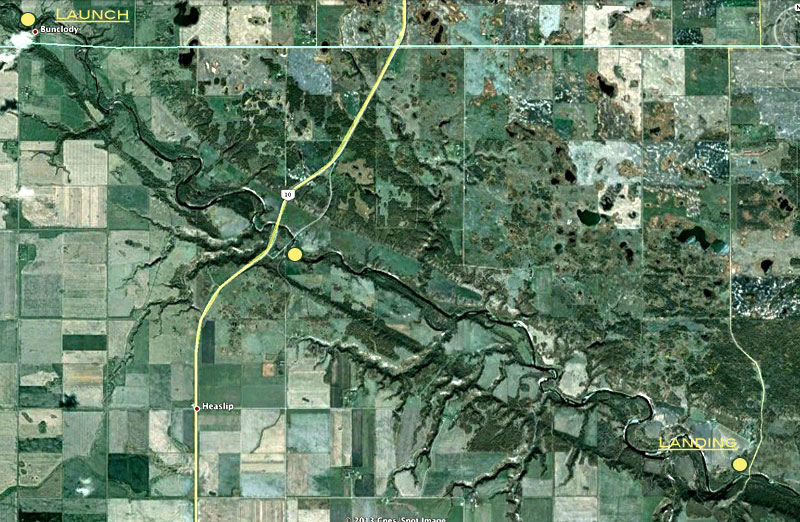
Launch : To get to the Bunclody
Bridge, drive south from Brandon on Highway #10 and turn west onto
Highway #2. Turn south on the "Fairfax: Road (#348).
Landing : Drive south from
Brandon on Highway #10. Turn east on Highway #2. Take the Margaret road
south (#346). For a shortcut to Bunclody Bridge take the Burbank Road
back to #10.
Distance : About 30 km
Time : 3 - 6
hours
See
Google Earth
View
See
Google Earth View
|
 |
When we did this
stretch in June of 96 the water was very high and fast
and it took less than 3 hrs. The rapids were safe, with no rocks near
surface. The trip can be divided into two very short trips by using the
landing at the Riverside Bridge. Either way it's a nice spot to stop
and access by the little park just past the main bridge is easy.
When we did just the part from
Riverside to Margaret in late summer it took over 5 hours. We had to
walk through several shallow rapids. The scenery made it a worthwhile
and peaceful trip.
If you time your trip so that some
rocks are beginning to show, the rapids can be quite challenging.
|

Historical
Notes
The bridges near Highway 10 tell a
story. First you encounter the main bridge. Then you pass under the
"Old Bridge" where the highway used to run, and in a short while you
will see the remains of a much older bridge. As the roads (and bridges,
and vehicles) got bigger, more advantageous crossing sites were located.
Alexander Henry Jr., on his way back from
the Missouri River in 1806, crossed the Souris at a spot he called "The
Grand Passage" and indicates that it was a few miles above "a
considerable bend". If you stand upon the Margaret Bridge and look
west, I believe you are looking at the crossing he mentions.
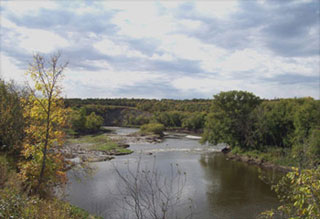
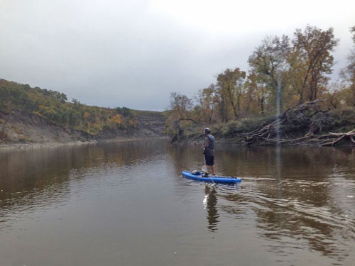
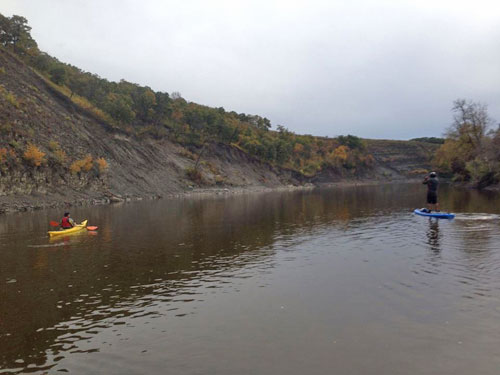
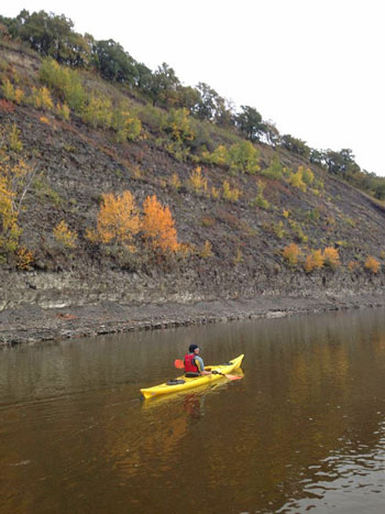
Some photos from Sept 23, 2013...
For More Details...
False Starts: A Settlement History of Western Manitoba
The Souris Bend
Google
Earth View
|